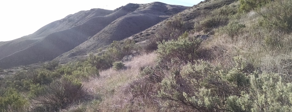
One of the most challenging parts of creating or evaluating a vegetation map is obtaining sufficient ground reference data. In our recent publication, my co-authors and I evaluated the use of iNaturalist observations for accuracy assessment of a vegetation map on San Clemente Island, Los Angeles County, CA. Access to this US Navy-owned island is limited, making any additional geotagged photos that could be obtained particularly valuable. We found that the use of iNaturalist observations shows strong potential for improving vegetation maps, and encourage future vegetation mapping projects to make use of iNaturalist while considering the important limitations of this dataset.
A major strength of iNaturalist is that it facilitates collaboration. I knew that my colleague Dr. Casey Richart was ...more ↓
One of the most challenging parts of creating or evaluating a vegetation map is obtaining sufficient ground reference data. In our recent publication, my co-authors and I evaluated the use of iNaturalist observations for accuracy assessment of a vegetation map on San Clemente Island, Los Angeles County, CA. Access to this US Navy-owned island is limited, making any additional geotagged photos that could be obtained particularly valuable. We found that the use of iNaturalist observations shows strong potential for improving vegetation maps, and encourage future vegetation mapping projects to make use of iNaturalist while considering the important limitations of this dataset.
A major strength of iNaturalist is that it facilitates collaboration. I knew that my colleague Dr. Casey Richart was studying invertebrates on San Clemente Island, but I didn't know that he was also collecting geotagged photos of plants all across the island until I saw them appear on iNaturalist. He collected the most usable observations for this project and is a co-author on the article. When combined with all the other observations from biologists working on the island, there was great coverage of vegetation types across the island. At least, I assume all the observations were collected by biologists. I would be delighted to hear that some of the observations were collected by non-biologists!
I greatly appreciate everyone who took the time to share their observations of plants on San Clemente Island. In addition to my co-author @pileated, I want to say thank you to @cedric_lee, @vireolanius, @shrike2, @dmathews, @jrebman, @stephanomeria, @serpophaga, @elizabercel, @empid, @sulavanderplank, @madpurdy, @stephlbartlett, @sue_meiman, @terrilldactyl, @demi5, @jennyh, @sabrinamashburn and @taylorsteichen. These are just the users whose observations ended up in the final analysis. Thank you to everyone who has contributed their observations and identifications of biodiversity on San Clemente Island.
less ↑